Park City, UT
Professional Land SurveyingYour go-to surveyor
For residential & commercial projects
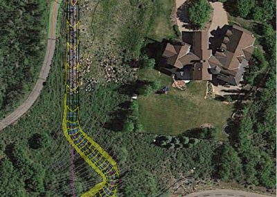
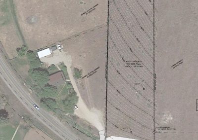
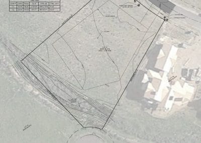
Element Land Surveying provides complete land surveying services to all of Park City, including Deer Valley, Promontory, Summit Park, Pinebrook, Jeremy Ranch, The Colony, and Old Town. If you are looking for a certified and insured land surveyor, give us a call today. We provide a wide range of land surveying services, including residential surveying and UAV mapping. Surveying is used for boundary lines, construction, design, and even utility placement.
We provide solutions
for all your land surveying needs
Element Land Surveying is your one-stop-shop for all types of survey work. Our team offers both residential and commercial properties, a variety of surveying services. Below are some of our most common services:
UAV Mapping
ALTA Surveys
Expert Consultations
Boundary Surveys
Topographic Surveys
Subdivision Surveys
Construction Design Models
We are the number one choice for land surveying in Park City, UT. Our licensed professional surveyors are knowledgeable in ALTA surveys for commercial properties as well as topographic surveys for all your project needs. For expert consultation, give us a call today!
Land Surveying
Residential & Commercial
Land mapping services encompass a variety of services. Land surveying is utilized for both residential and commercial properties and can be used for construction design, legal purposes, blueprints, and utility mapping. Land mapping provides crucial information for property owners to ensure their projects are completed within budget and in a safe manner. Element Land Services uses high tech GPS equipment to ensure your Park City property is surveyed correctly.
ALTA Surveying
Certified & Licensed experts
Element Land Surveying is a certified land surveyor that can provide ALTA surveys for all of Park City and Utah. American Land and Title Association surveys are completed to better help commercial lenders understand property lines, title issues, and exceptions for title insurance. ALTA surveys are comprehensive and required by Utah law in certain situations.
UAV
Surveying
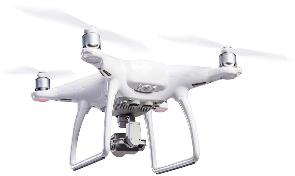
UAV Mapping utilizes aerial data to form 3-D models for many different types of engineering and construction projects. UAV mapping provides the following for all your commercial and residential surveying needs:
Construction and Engineering Data
Aerial Videography and Photography
Building and Asset Inspections
3-D Topography Mapping
Orthorectified Imaging
Digital Terrain and Surface Models
Volume Calculations
Real Estate Services
Element Land Surveying provides licensed pilots for all your Park City UAV mapping needs. We use the best in UAV technology to provide you with extensive models for all your project needs.
In conclusion
We’re the right team
Element Land Surveying has and continues to provide land surveying services to Park City and the following developments in the area:
Deer Valley
Summit Park
Promontory
Jeremy ranch
Pinebrook
The Colony
Old Town
Our team is licensed to provide surveying services throughout Utah. From boundary lines to land surveying and ALTA surveys, our team provides it all. We use the best equipment to ensure your surveys are accurate and always completed on time and within budget for your project. We are very skilled and knowledgeable about laws and regulations surrounding land surveys and will assist our clients with the proper survey to fit their needs.


