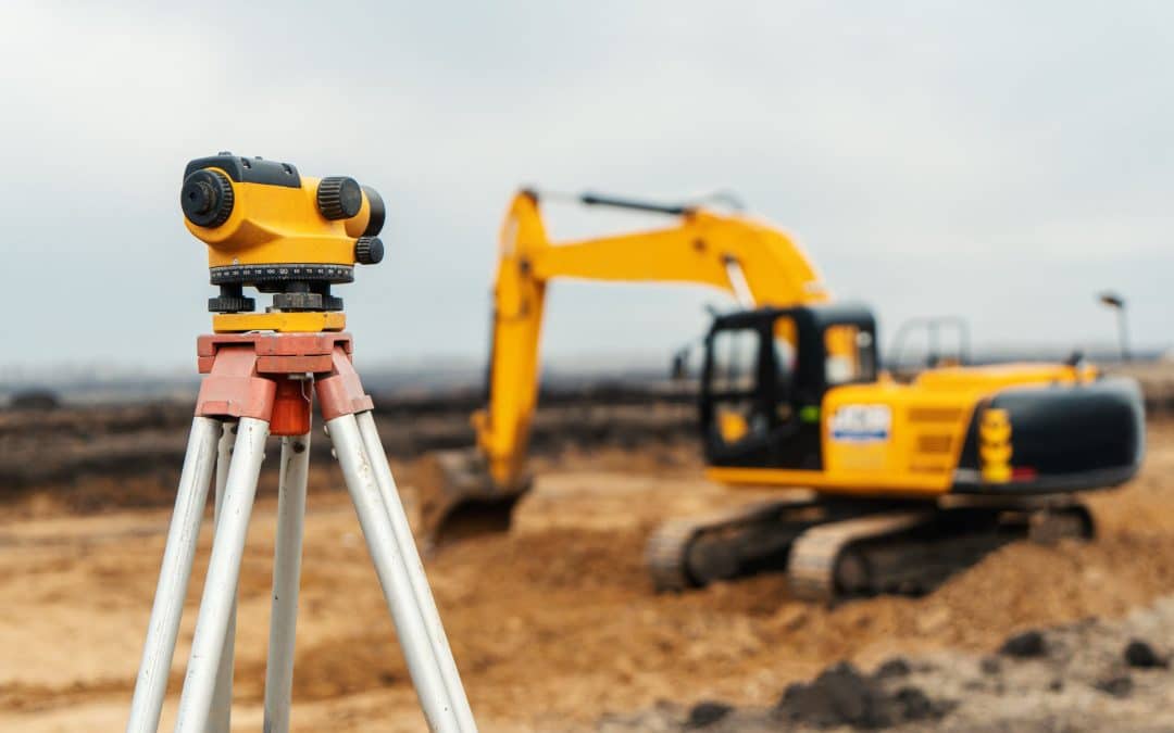
Land surveying is a necessary process that should be done before any construction project begins. This is to ensure that the property lines are correctly marked and that the structure will be built in the correct location. Licensed land surveyors in Heber City, Utah, can help you with all your land surveying needs. They have years of experience in this field and will ensure your project goes smoothly from start to finish.
Here are some types of land mapping and surveying services that a licensed surveying company can provide:
1) Residential Land Surveying
Subdivision surveying for housing development is one of the most common types. This ensures that each lot is correctly measured and staked before construction begins. This prevents any disputes that may arise between neighbors during or after construction.
Zoning, property line, and easement surveys are also crucial for residential land surveying. This ensures that the construction project complies with all local zoning regulations. It also protects your property lines from being infringed upon by neighbors.
2) UAV Mapping
Drones or Unmanned Aerial Vehicles (UAVs) are an increasingly popular tool for mapping and surveying land. They are inexpensive, easy to use, and can quickly cover large areas. Drones can be equipped with high-resolution cameras and other sensors, which makes them ideal for creating detailed maps.
UAV mapping can be used for a variety of purposes, such as:
- Creating orthophotos (aerial photos with accurate scaling)
- Generating Digital Terrain Models (DTMs)
- Making 3D models
- Measuring volume
- Inspecting land
- Construction and Progress Monitoring
- Surveying hard-to-reach areas
The land surveyors will click hundreds of photos from the air, which will be stitched together with the help of photogrammetry to make a digital or 3D model of the land. The surveyor can then use this model to take measurements, calculate volume, and so on.
3) Boundary Surveys
A boundary survey is the first type of survey you should get when you’re considering buying land. This survey will establish the official boundaries of the property. The surveyor will use GPS equipment and other tools to measure and mark the property’s boundaries. They will also look for any easements or rights of way that may be on the property.
Call Element Land Surveying in Heber City, UT, for all your surveying needs. We provide subdivisions, land titles, topographic, construction staking, and drone surveys for commercial and residential clients. Our licensed surveyors have the experience and equipment to do the job correctly.