Land surveying can be used for a variety of situations, including construction, purchases, and boundary lines. Element Land Surveying provides complete land surveying for all your needs, no matter the season! Our team has the tools to offer our land surveying services even during the Fall and Winter. Below, Element Land Surveying will discuss some common types of land surveying services and why you might need them.
Topographic Surveys
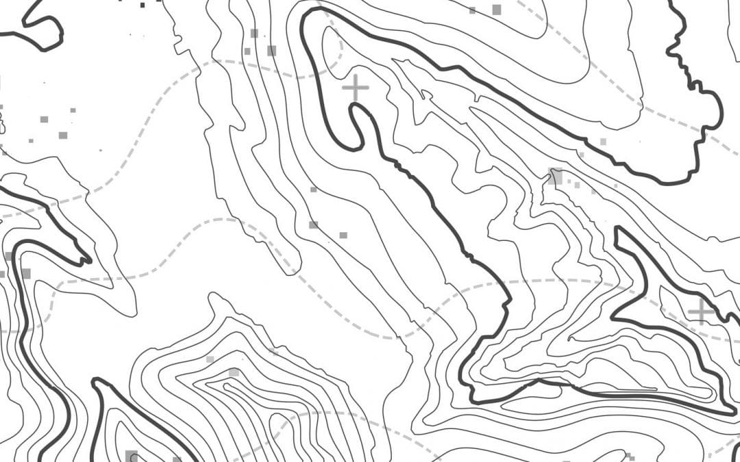
Topographic land surveys are generally completed to create a 3-D map of an area. These types of land surveys are used for the following:
• New Construction Projects
• Remodels
• Utility Designing
• Bridge and Road Improvements and Installations
• Drainage and Grading Projects
Topographic land surveys are able to identify elevations, natural features, and hills precisely. This helps with construction and engineering companies to plan and design projects. These types of surveys are completed using a variety of land surveying equipment, including UAVs.
UAV Surveys
Element Land Surveying is at the top of the technology game. We use special drones for UAV land surveying. Our drones are all top of the line and are used with great accuracy. UAV surveys are perfect for creating 3-D maps and are the best in thorough land surveying. UAV surveying is not only a time-saver, but it also gives you the most accurate data at reduced costs. If you are considering starting a construction or remodeling project, a UAV land survey is the best type. UAV land surveys are perfect for real estate services, engineering data, volume calculations, and digital terrain models. With a UAV land survey, you get excellent data for your next project.
If you are in need of any type of land survey, Element Land Surveying is here for all your surveying needs. We have the proper equipment to provide any and all types of land surveying, including ALTA surveys for Utah.